コンテンツにスキップ

Maps

  • Art Print

    The print

    LONDON AT THE CLOSE OF 19TH C

    £20.00 から

    Published 1892 onwards, these beautiful maps were sold at one penny per copy by a specialist in gentlemen’s tailoring and school outfits, Chas bake...

    詳細を全部見る
    £20.00 から
  • Greeting card

    Ezen - London (1827) - Greeting Card - Front

    LONDON (1827)

    £3.50

    Text on the reverse side: Map of London from an actual survey made between 1824-1826 by Christopher and John Greenwood. The city was the first to ...

    詳細を全部見る
    £3.50
  • Art Print

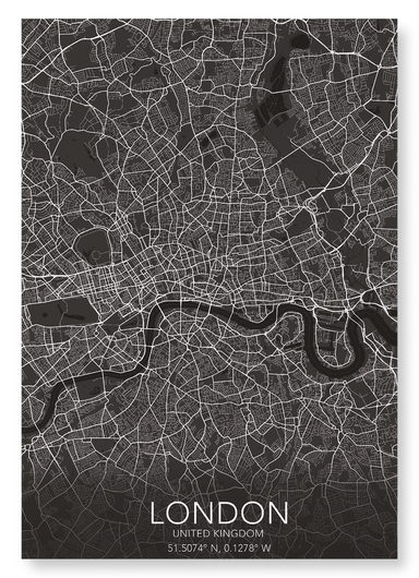
    LONDON FULL MAP

    £20.00 から

    Named Londonium, the city was settled by the Romans 47 AD. With a population of over 8 million people, Greater London measures 606 square miles (15...

    詳細を全部見る
    £20.00 から
  • Art Print

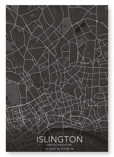
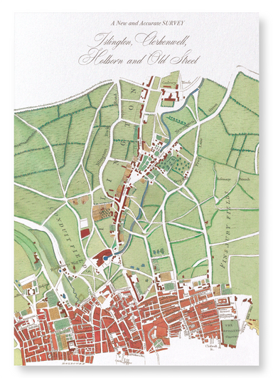
    ISLINGTON FULL MAP

    £20.00 から

    Originally name by the Saxons as Giseldone in 1005, it changed to Isledon until the 17th century, and finally resulted in its current name of Islin...

    詳細を全部見る
    £20.00 から
  • Art Print

    The print

    LONDON (1827)

    £20.00 から

    Map of London from an actual survey made between 1824-1826 by Christopher and John Greenwood. The city was the first to reach a population of over ...

    詳細を全部見る
    £20.00 から
  • Art Print

    The print

    LONDON BEFORE 1666

    £20.00 から

    Image from an eighteenth century copperplate depiction of London, published by J.Cooke, London, in 1776. as it was before the great fire of London...

    詳細を全部見る
    £20.00 から
  • Greeting card

    Ezen - London map (c.1580) - Greeting Card - Front

    LONDON MAP (C.1580)

    £3.50

    Text on the reverse side:A map depicting Elizabethan London, which was a centre of entertainment and leisure activities. Inn-yards and the new thea...

    詳細を全部見る
    £3.50
  • Greeting card

    Ezen - London before 1666 - Greeting Card - Front

    LONDON BEFORE 1666

    £3.50

    Text on the reverse side: Image from an eighteenth century copperplate depiction of London, published by J.Cooke, London, in 1776. as it was befo...

    詳細を全部見る
    £3.50
  • Art Print

    The print

    LONDON MAP (C.1580)

    £20.00 から

    A map depicting Elizabethan London, which was a centre of entertainment and leisure activities. Inn-yards and the new theatres provided performance...

    詳細を全部見る
    £20.00 から
  • Greeting card

    Ezen Designs - British Isles (1760) - Greeting Card - Front

    BRITISH ISLES (1760)

    £3.50

    Text on the reverse side:The antique copper engraving of the British Isles, created by Borde and published in Histoire Universelle around 1760, cap...

    詳細を全部見る
    £3.50
  • Greeting card

    Ezen Designs - Islington map (1755) - Greeting Card - Front

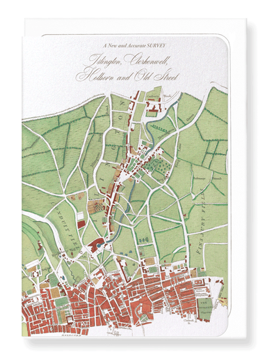
    ISLINGTON MAP (1755)

    £3.50

    Text on the reverse side:By the cartographer William Maitland, the map was published as part of “The History and Survey of London”. This map shows ...

    詳細を全部見る
    £3.50
  • Art Print

    BRITISH ISLES (1760)

    £20.00 から

    The antique copper engraving of the British Isles, created by Borde and published in Histoire Universelle around 1760, captures the geography of 18...

    詳細を全部見る
    £20.00 から
  • Art Print

    ISLINGTON MAP (1755)

    £20.00 から

    By the cartographer William Maitland, the map was published as part of “The History and Survey of London”. This map shows the vicinity of Islington.

    £20.00 から
  • Greeting card

    Ezen - Canterbury (c.1670) - Greeting Card - Front

    CANTERBURY (C.1670)

    £3.50

    Text on the reverse side: A Ground Plott of Canterbury by Wenceslas Hollar, which was originally published around 1670. The copper plate engraving...

    詳細を全部見る
    £3.50
  • Greeting card

    Ezen - Celestial map (1820) - Greeting Card - Front

    CELESTIAL MAP (1820)

    £3.50

    Text on the reverse side:Produced in London by Richard Brookes, the celestial map shows the constellations in the northern and southern hemispheres...

    詳細を全部見る
    £3.50
  • Bookmark

    Ezen - London (1827) - Bookmark - Front

    LONDON (1827)

    £2.00

    Text on the reverse side: Map of London from an actual survey made between 1824-1826 by Christopher and John Greenwood. The city was the first to ...

    詳細を全部見る
    £2.00
  • Art Print

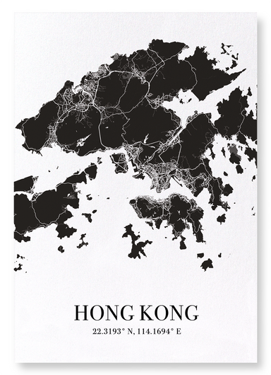
    HONG KONG CUTOUT

    £20.00 から

    Measuring 1,106km2, the city has more Rolls Royce’s per person than any other city in the world, as well as the most skyscrapers - double that of N...

    詳細を全部見る
    £20.00 から
  • Greeting card

    Ezen - Bristol (1568) - Greeting Card - Front

    BRISTOL (1568)

    £3.50

    Text on the reverse side:Titled "Brightstowe, vulgo" was published in Cologne in 1588 in the book Civitates Orbis Terrarum (Towns of the World). Th...

    詳細を全部見る
    £3.50
  • Art Print

    The print

    PARIS IN 17TH CENTURY

    £20.00 から

    View of Paris published c.1660 by Martin Zeiller. The city was founded in the 3rd century BC by Celtic people called the Parisii, from where the ci...

    詳細を全部見る
    £20.00 から
  • Art Print

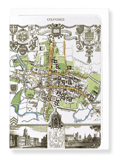
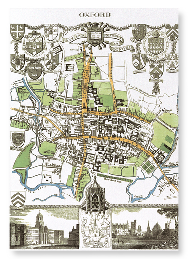
    CITY OF OXFORD (1837)

    £20.00 から

    Engraved by J.Cleghorn, the map was published in 1837 as a part of Thomas Moule's English Counties. Steel engraved by J.Cleghor, the decorative pla...

    詳細を全部見る
    £20.00 から
  • Greeting card

    Ezen - Oxford (1806) - Greeting Card - Front

    OXFORD (1806)

    £3.50

    Text on the reverse side: Engraved by J. Roper based on a plan by G. Cole, this copperplate printed mat was published in The Beauties of England &...

    詳細を全部見る
    £3.50
  • Bookmark

    Ezen - Map of Scotland (1851) - Bookmark - Front

    MAP OF SCOTLAND (1851)

    £2.00

    Text on the reverse side: A detailed 1851 map of Scotland, featuring an inset of the Shetland Islands, showcases illustrations of local landmarks ...

    詳細を全部見る
    £2.00
  • Bookmark

    Ezen - Gloucestershire (c.1611) - Bookmark - Front

    GLOUCESTERSHIRE (C.1611)

    £2.00

    Text on the reverse side: ‘Glocestershire’ From The Theatre of the Empire of Great Britaine (1611) by English cartographer and historian John Spee...

    詳細を全部見る
    £2.00
  • Art Print

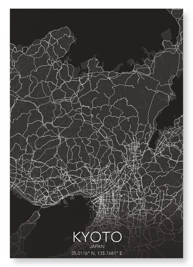
    KYOTO FULL

    £20.00 から

    Kyoto prefecture measures 1,780 square miles (4,612 km2), and was the former capital of Japan for over one thousand years. War planes excluded the ...

    詳細を全部見る
    £20.00 から