Art Print
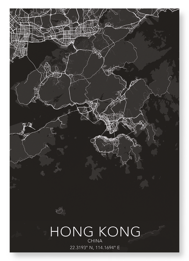
HONG KONG FULL
Measuring 1,106km2, the city has more Rolls Royce’s per person than any other city in the world, as well as the most skyscrapers - double that of N...
詳細を全部見る
Art Print
Measuring 1,106km2, the city has more Rolls Royce’s per person than any other city in the world, as well as the most skyscrapers - double that of N...
詳細を全部見る
Greeting card
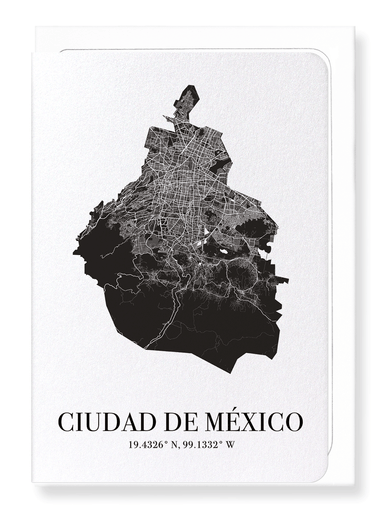
Text on the reverse side:The official name of Mexico is Estados Únidos Mexicanos (United Mexican States) and the city measures 1,485km2. Mexico Ci...
詳細を全部見る
Greeting card
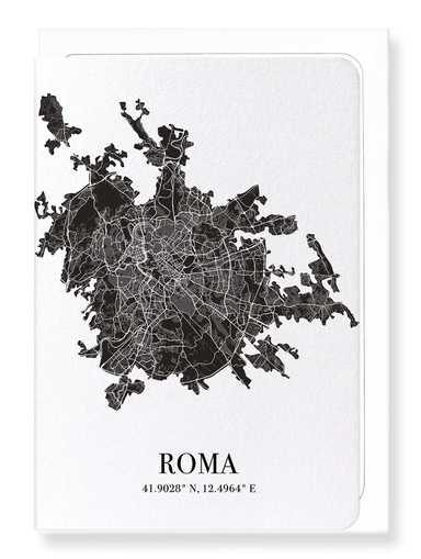
Text on the reverse side:The Eternal City, as named by the poet Tibulis in the first century BC, the city of Rome measures 1,285km2, and is the lar...
詳細を全部見る
Art Print
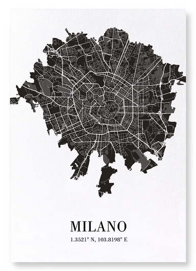
The city, that is the economic heart of Italy, measures 181km2. It is one of the high fashion capitals of the world as well as an art centre with s...
詳細を全部見る
Art Print
Measuring 606km2, the city of Chicago’s motto “urbs in horto” (city in a garden) adopted in the 1830s is for the impressive and historic park syste...
詳細を全部見る
Art Print
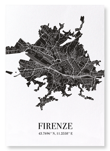
Measuring 39.51 square miles (102.32 km2), the people of Florence are called Florentines. In 1339, Florence became the first European city to pave ...
詳細を全部見る
Art Print
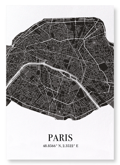
The town was founded around 250 BC by the Parisii - a sub tribe of the Celtic Senones. 987 AD the city became the capital of France. Initially with...
詳細を全部見る
Greeting card
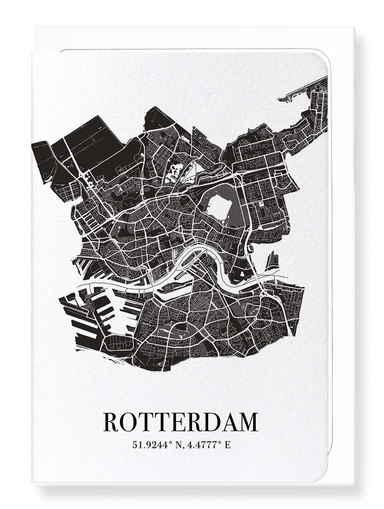
Text on the reverse side:Rotterdam is the second-largest city of the Netherlands, behind Amsterdam, measuring 125 square miles (325 km2). It is kno...
詳細を全部見る
Greeting card
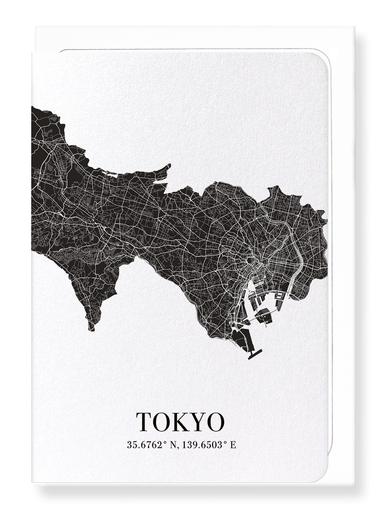
Text on the reverse side:Tokyo measures 847 square miles (2,194 km2), with around 14 million residents. It is the most populous prefecture of Japan...
詳細を全部見る
Greeting card
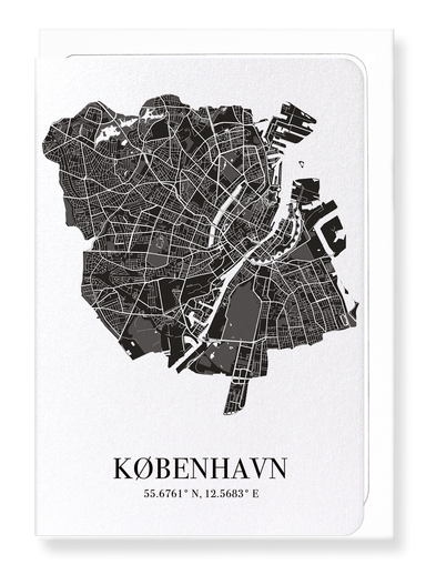
Text on the reverse side:Measuring 68.90 square miles (178.46 km2) Copenhagen is one of the greenest cities in the world, increasingly using wind a...
詳細を全部見る
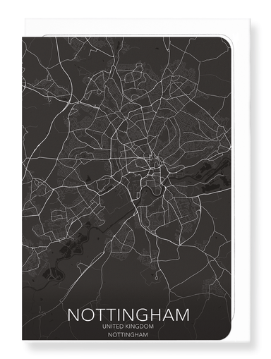
Greeting card
Text on the reverse side:The city of Nottingham measures 28.81 square miles (74.61 km2) which has an award-winning public transport system, includi...
詳細を全部見る
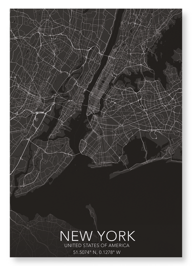
Art Print
New York measures 302 square miles (783 km2). It the most linguistically diverse city in the world with more than 800 languages spoken in the city....
詳細を全部見る
Greeting card
Text on the reverse side:A double hemisphere hand coloured map of the world, Nova Totius Terrarum Orbis Geographica by Pierre-Jean Mariette (1603-1...
詳細を全部見る
Greeting card
Text on the reverse side: The Theatre of the Empire of Great Britain by the famous English cartographer John Speed (1552-1629). It reads: "Glouces...
詳細を全部見る
Art Print
Produced in London by Richard Brookes, the celestial map shows the constellations in the northern and southern hemispheres. The word "constellation...
詳細を全部見る
Greeting card
Text on the reverse side:A map of Ireland published as part of the Atlas Major. Today, 80 million people of Irish descent are estimated to live out...
詳細を全部見る
Greeting card
Text on the reverse side:France, including the islands of French Guiana, Guadeloupe, Martinique, Mayotte, and Réunion Island, is the largest countr...
詳細を全部見る
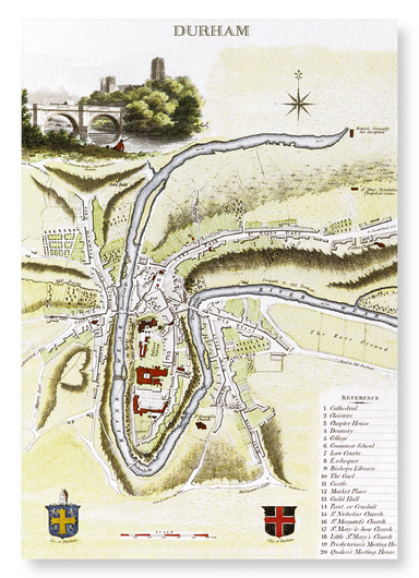
Art Print
A map of Durham from the publication The Beauties of England & Wales, 1806. The present city of Durham can be traced back to when a group of mo...
詳細を全部見る
Art Print
Engraved by J. Roper based on a plan by G. Cole, this copperplate printed mat was published in The Beauties of England & Wales in 1806. The num...
詳細を全部見る
Greeting card
Text on the reverse side:View of Paris published c.1660 by Martin Zeiller. The city was founded in the 3rd century BC by Celtic people called the P...
詳細を全部見る
Greeting card
Text on the reverse side: A detailed 1851 map of Scotland, featuring an inset of the Shetland Islands, showcases illustrations of local landmarks ...
詳細を全部見る
Greeting card
Text on the reverse side: A map taken from The History of the Norman Conquest of England, its causes and its results by Edward Augustus Freeman, t...
詳細を全部見る
Art Print
A map taken from The History of the Norman Conquest of England, its causes and its results by Edward Augustus Freeman, this illustration reflects V...
詳細を全部見る
Bookmark
Text on the reverse side: An ornate map of the British Isles from The Illustrated Atlas, featuring the Shetland Islands. Counties outlined in colo...
詳細を全部見る
Greeting card
Text on the reverse side: An ornate map of the British Isles from The Illustrated Atlas, featuring the Shetland Islands. Counties outlined in colo...
詳細を全部見る
Art Print
An ornate map of the British Isles from The Illustrated Atlas, featuring the Shetland Islands. Counties outlined in colour, with picturesque vignet...
詳細を全部見る
Bookmark
Text on the reverse side: The border caption reads: "The heart of Britain's empire here is spread out for your view, it shows you many stations &a...
詳細を全部見る
Bookmark
Text on the reverse side: A map of Ireland published as part of the Atlas Major. Today, 80 million people of Irish descent are estimated to live o...
詳細を全部見る
Art Print
The border caption reads: "The heart of Britain's empire here is spread out for your view, it shows you many stations & 'bus routes not a few. ...
詳細を全部見る
Greeting card
Text on the reverse side:The town was founded around 250 BC by the Parisii - a sub tribe of the Celtic Senones. 987 AD the city became the capital ...
詳細を全部見る
Art Print
The first manned hot air balloon flight in England took place in 1784 when Italian pilot Vincenzo Lunardi travelled over the rooftops of London. Ov...
詳細を全部見る
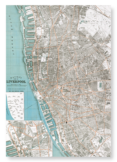
Art Print
This map of Liverpool by American cartographer George Washington Bacon shows a detailed view of the streets of the city. We can particularly observ...
詳細を全部見る
Art Print
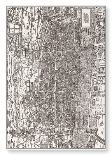
Based on a reproduction published in 1874 by Edward J. Francis, this map was originally printed in the 1560s, but no surviving copies exist. The ma...
詳細を全部見る
Greeting card
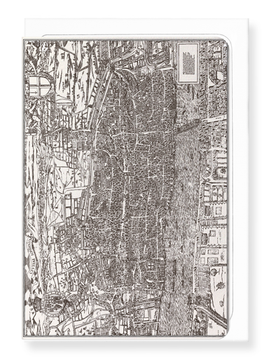
Text on the reverse side:Based on a reproduction published in 1874 by Edward J. Francis, this map was originally printed in the 1560s, but no survi...
詳細を全部見る
Art Print
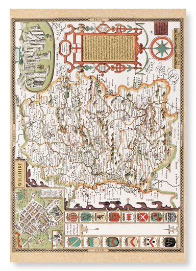
From The Theatre of the Empire of Great Britaine (1611) by English cartographer John Speed (1552-1629). Speed labels North Burcombe 'quaere' (query...
詳細を全部見る
Greeting card
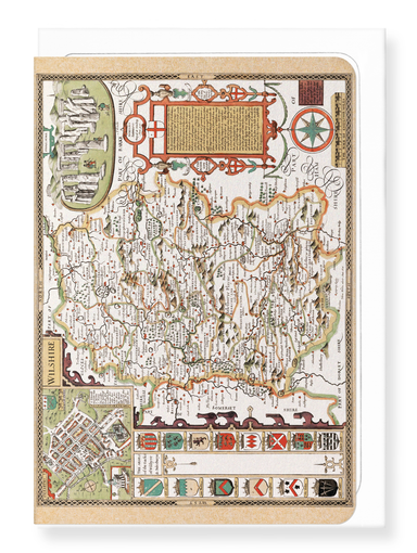
Text on the reverse side:From The Theatre of the Empire of Great Britaine (1611) by English cartographer John Speed (1552-1629). Speed labels North...
詳細を全部見る