Skip to content

Maps

  • Greeting card

    Ezen - London (1827) - Greeting Card - Front

    LONDON (1827)

    £3.50

    Text on the reverse side: Map of London from an actual survey made between 1824-1826 by Christopher and John Greenwood. The city was the first to ...

    View full details
    £3.50
  • Art Print

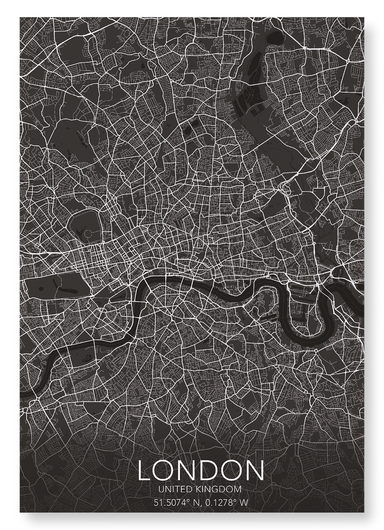
    LONDON FULL MAP

    from £20.00

    Named Londonium, the city was settled by the Romans 47 AD. With a population of over 8 million people, Greater London measures 606 square miles (15...

    View full details
    from £20.00
  • Art Print

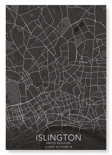
    ISLINGTON FULL MAP

    from £20.00

    Originally name by the Saxons as Giseldone in 1005, it changed to Isledon until the 17th century, and finally resulted in its current name of Islin...

    View full details
    from £20.00
  • Art Print

    The print

    LONDON (1827)

    from £20.00

    Map of London from an actual survey made between 1824-1826 by Christopher and John Greenwood. The city was the first to reach a population of over ...

    View full details
    from £20.00
  • Art Print

    The print

    LONDON BEFORE 1666

    from £20.00

    Image from an eighteenth century copperplate depiction of London, published by J.Cooke, London, in 1776. as it was before the great fire of London...

    View full details
    from £20.00
  • Art Print

    The print

    LONDON MAP (C.1580)

    from £20.00

    A map depicting Elizabethan London, which was a centre of entertainment and leisure activities. Inn-yards and the new theatres provided performance...

    View full details
    from £20.00
  • Art Print

    BRITISH ISLES (1760)

    from £20.00

    The antique copper engraving of the British Isles, created by Borde and published in Histoire Universelle around 1760, captures the geography of 18...

    View full details
    from £20.00
  • Art Print

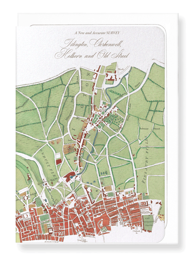
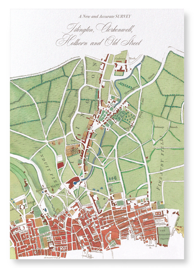
    ISLINGTON MAP (1755)

    from £20.00

    By the cartographer William Maitland, the map was published as part of “The History and Survey of London”. This map shows the vicinity of Islington.

    from £20.00
  • Bookmark

    Ezen - London (1827) - Bookmark - Front

    LONDON (1827)

    £2.00

    Text on the reverse side: Map of London from an actual survey made between 1824-1826 by Christopher and John Greenwood. The city was the first to ...

    View full details
    £2.00
  • Art Print

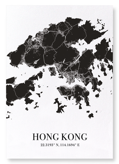
    HONG KONG CUTOUT

    from £20.00

    Measuring 1,106km2, the city has more Rolls Royce’s per person than any other city in the world, as well as the most skyscrapers - double that of N...

    View full details
    from £20.00
  • Greeting card

    Ezen - Bristol (1568) - Greeting Card - Front

    BRISTOL (1568)

    £3.50

    Text on the reverse side:Titled "Brightstowe, vulgo" was published in Cologne in 1588 in the book Civitates Orbis Terrarum (Towns of the World). Th...

    View full details
    £3.50
  • Art Print

    The print

    PARIS IN 17TH CENTURY

    from £20.00

    View of Paris published c.1660 by Martin Zeiller. The city was founded in the 3rd century BC by Celtic people called the Parisii, from where the ci...

    View full details
    from £20.00
  • Art Print

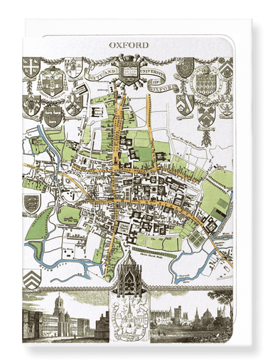
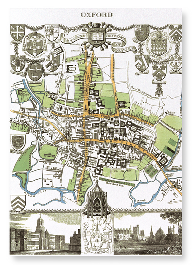
    CITY OF OXFORD (1837)

    from £20.00

    Engraved by J.Cleghorn, the map was published in 1837 as a part of Thomas Moule's English Counties. Steel engraved by J.Cleghor, the decorative pla...

    View full details
    from £20.00
  • Greeting card

    Ezen - Oxford (1806) - Greeting Card - Front

    OXFORD (1806)

    £3.50

    Text on the reverse side: Engraved by J. Roper based on a plan by G. Cole, this copperplate printed mat was published in The Beauties of England &...

    View full details
    £3.50
  • Art Print

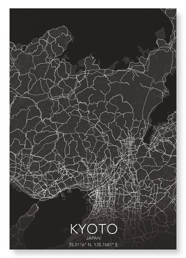
    KYOTO FULL

    from £20.00

    Kyoto prefecture measures 1,780 square miles (4,612 km2), and was the former capital of Japan for over one thousand years. War planes excluded the ...

    View full details
    from £20.00